Final Project!
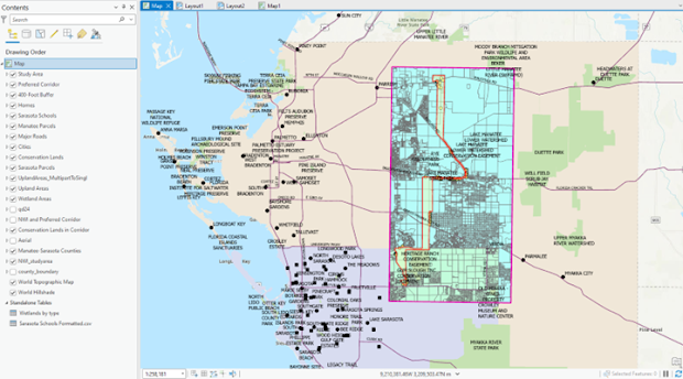
Today I finished my Final Project for GIS 5050. Overall, I felt like I did satisfactory project, but unfortunately, I did not finish the fourth, or final objective, which was to estimate the engineering costs of the line through a digitization and computational process. Overall though, I found the project helpful in reinforcing the skills and knowledge I learned in this course, though I encountered a few difficult moments. This included problems geocoding the Sarasota County Schools list table but this was because I incorrectly used the 2022, instead of 2020 Census edges file. I wish I had more time to work on the project by finishing the final objective, but I must move on to prepare for the next course in the GIS graduate certificate program. Here is a screenshot of all the layers for my final project over the basemap. Of course it is messy, so I will follow with an example of two of the analytical maps I created. This map, for Objective #1, shows the en...