Data Quality: Assessment

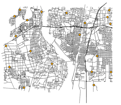
This week in GIS 5935, I concluded the last of a three-part module on data quality in GIS. This module focused on data assessment where we were tasked with determining completeness of two different road networks by summarizing our analysis in textual, visual, and numerical terms. Completeness is one of the five components of data quality where it essentially refers to "how well the data set captures all the features" (Boldstad and Mason 2022:611). Further, assessment of completeness can help inform the analyst on important information missing in a data set that might be critical for a spatial analysis project. For this assignment, I assessed completeness by examining differences in road length for a section of Washington County, Oregon in two different data sets: TIGER Roads (U.S. Census Bureau) and Street Centerlines (Washington County). In addition, I used a grid consisting of 297 1-km by 1-km polygons to serve as base units of analysis. For the analysis I used various to...