Computer Cartography!
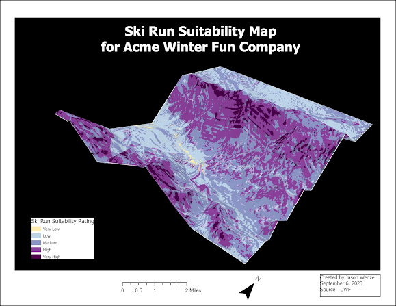
This week I started Computer Cartography (GIS 5007), which is my second course in the graduate certificate in GIS at UWF. I hope to enhance the knowledge I learned in the previous class, Introduction to GIS (GIS 5050), while expanding my knowledge and skill base in GIS and in cartographic design principles.
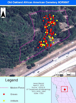
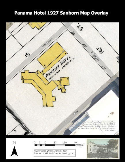
Recently I resumed archaeological fieldwork with my Gulf Coast State College students at an important historic/archaeological site in Panama City. We are currently exploring sites associated with the "lost" town of St. Andrews (1827-1863).
For more information on the project, please check out My Story Map.
Below is a cut and zoom of the 1855 U.S. Coastal Survey Map of St. Andrews City. I hope to eventually work with this map/image formally in GIS, including overlaying it with modern aerial photographs and topographic maps, georefencing archaeological field data to it, and incorporating all the proper map elements in the final layout.


Comments
Post a Comment