Internship Introduction and GIS Community
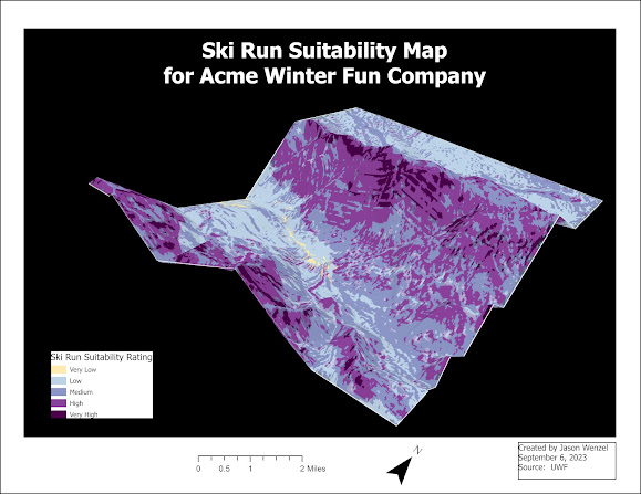
This semester I am excited to begin, GIS 5945: Internship, which is the final course required for the Graduate Certificate in GIS at UWF. At the completion, I expect to have enhanced my knowledge and skills in using ArcGIS Pro software while incorporating basic principles of geography, and local contextual archaeological and historical data to support GIS analysis.
Key learning goals for the internship include:
1. Explore the distribution of
geography/GIS courses taught in the Florida College System and preparing for
teaching in geography with GIS at Gulf Coast State College.
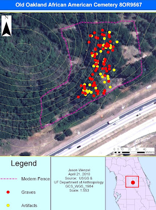
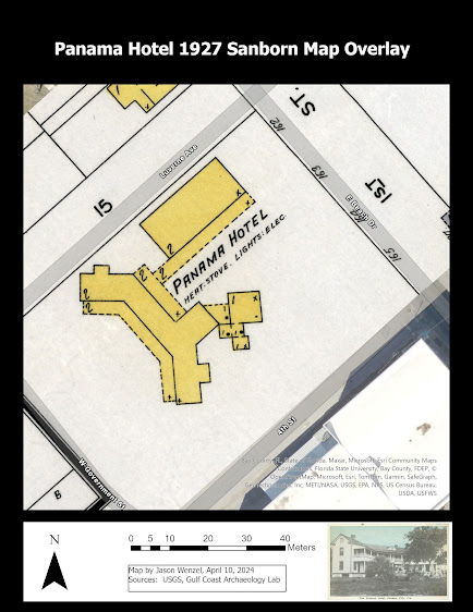
2. Produce maps for archaeological sites using ArcGIS that were studied by Gulf Coast State College.
3. Learn how to conduct spatial analysis of archaeological data using ArcGIS.
This week for the internship, I updated my C.V. to reflect some of the competencies in GIS I have obtained while taking courses in the certificate program. In addition, I was directed to join a GIS user group. I found Florida URISA, a chapter of the Urban and Regional Information Systems Association (URISA). FLURISA is a nonprofit organization that includes GIS professionals as well as others who use information technologies to solve various governmental challenges. I signed up for Friends of FLURISA


Comments
Post a Comment